|
|
|
 |
|
|
|
|
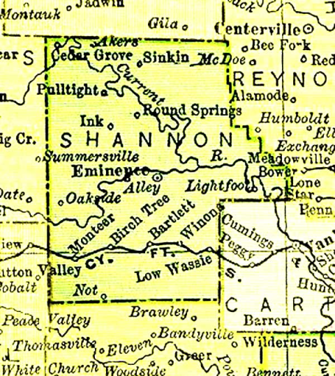
Shannon County, Missouri Maps
Sometimes the key to understanding and locating records of our
ancestors lies in understanding where they lived in a county.
Township divisions changed over the years, so in different census years,
an ancestor who never moved can be found in different townships.
|
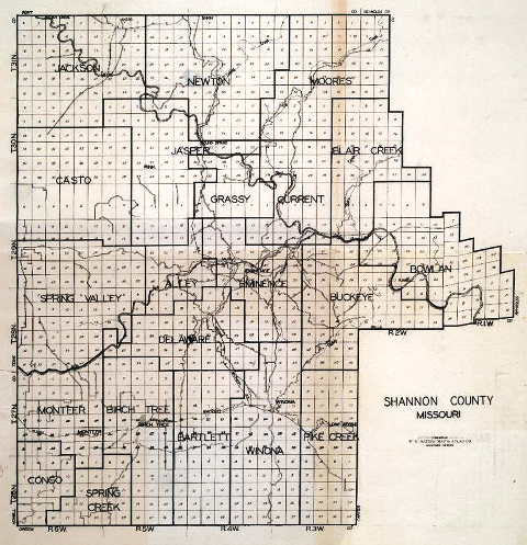
1895 Shannon County Map
Livingston County MI - USGenWeb Project Page
© 1997-1998 All Rights Reserved CFC Productions - http://www.livgenmi.com/1895/MO/County/shannon.htm
For More Information Contact: Pam Rietsch at: prietsch@ismi.net
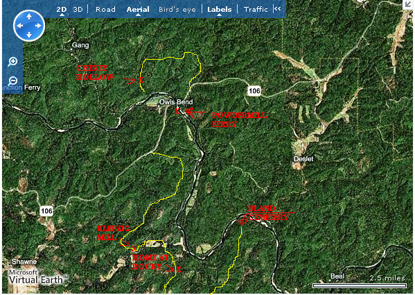
Map of Rocky area northeast of Winona
![]()
![]()
© 2003 - 2014 by
Shannon County Coordinators or individual contributors as shown. No portion of this
site is to be considered public domain and is not to be reproduced for any
purpose without express written consent of the owner of the material.